

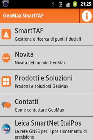
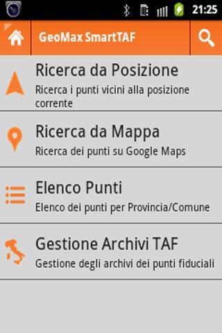
Manage and Search for the Trust Points of All the Provinces of Italy.
GeoMax FreeTAF allows you to manage and search for the trust points of all the provinces of Italy.
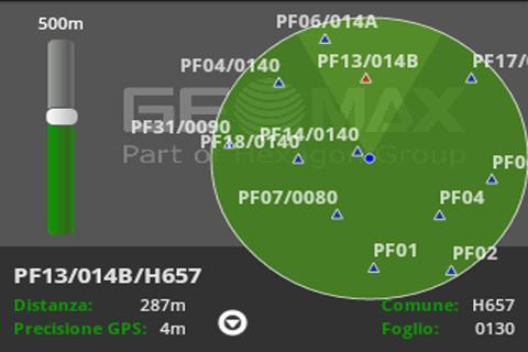
With GeoMax FreeTAF you can download, directly from the website of the territory Agency, the trust points of any province and view the points closest to your position. You can see where you find points compared to you with different visualization modes selectable on the fly.
Radar: View nearby points on a variable scale radar.
Augmented reality: by framing the reality around you you can see where the points and their distance are located; Having reached the point of the point, a symbol will indicate its position. Augmented reality can work for 30 seconds for each hour and is instead completely functional on the complete Geomax Smalltf version.
Google Maps: The points are displayed in the Google Maps map; The satellite view and the Street View mode are only available on the complete Geomax Smartfare version.
List: List of the nearest points ordered based on the distance or list of points based on the Municipality of belonging.
POINT DETAILS: View of all the information associated with the selected trusted point; The complete Geomax Smarttf version allows you to send the position of the point to the navigation applications on the device.
Monograph: display of the monograph corresponding to the selected point to precisely identify the point and the altimetric reference; The possibility of using the previously downloaded monographs in off-line mode is available only on the complete Geomax Smartfare version.
With GeoMax FreeTAF you have everything on your smartphone and you don't have to prepare maps, monographs before performing a relief. You can face and resolve any situation not provided quickly and safety.
GeoMax FreeTAF is the irreplaceable application for anyone who deals with cadastral reliefs.
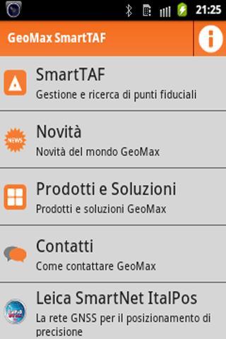
To have even more download Geomax Smarttaf that completes GeoMax FreeTAF with further important features!
- Reset the references to the new website of the Territory Agency as regards the monographs.





 Download